Learning how to do a waypoint mission, and learning more about video editing has occupied my time recently, besides the normal day to day “life” things!
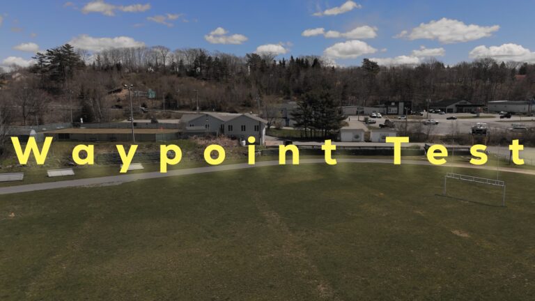
I tried to run a waypoint mission today, and actually ran it twice because I forgot to lock exposure the first time (checklist item).
Unfortunately I also forgot to set the mission to ever start recording (checklist item). Sigh.
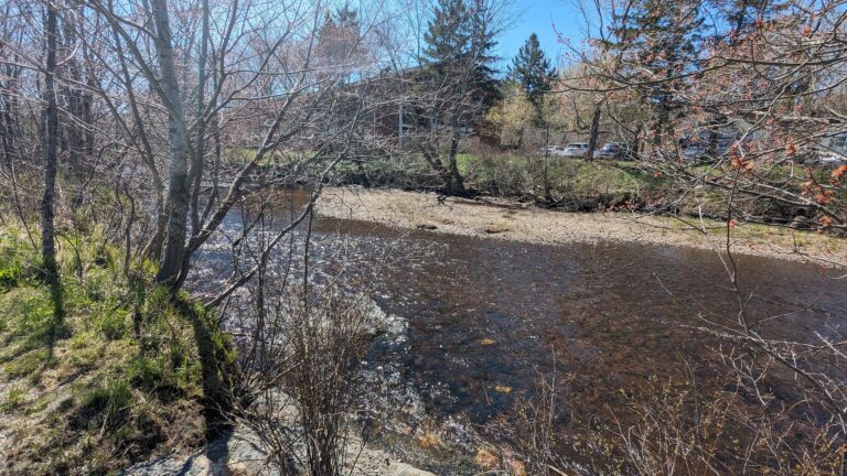
Anyway, I edited it again at home, as it was probably too low, and will run it again when I do a full trail ride. I’ve splurged on an Insta360 X4, so hopefully can combine footage from it, the drone, some stills, and my horrible voice to show you this trail. As its close to home, its my learning and experiment location.
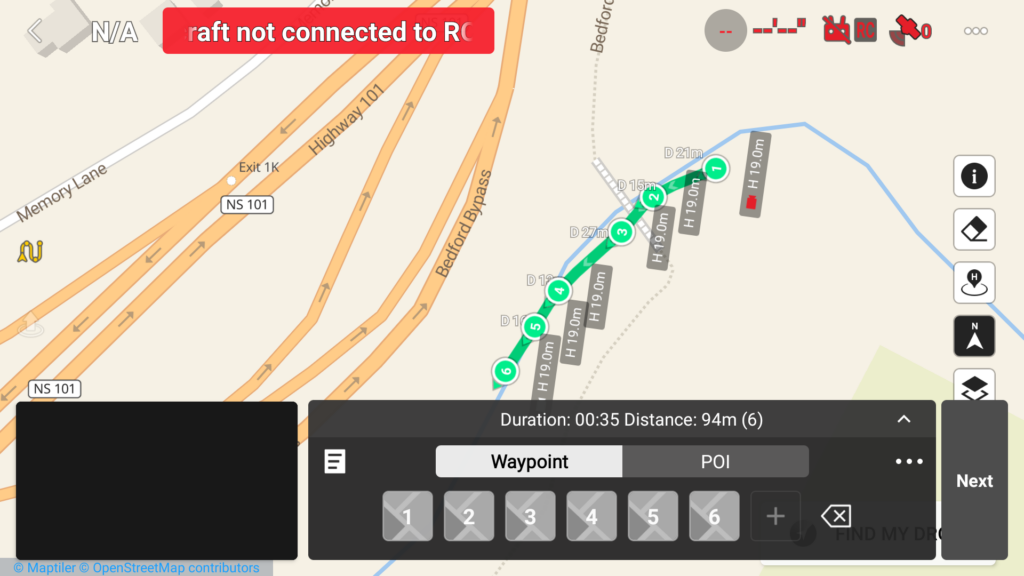
Here’s a little screenshot of the route from my controller. Its only about 90 meters total, but that’s about as much river as I can see from the location.
The hard work is done (not that its hard). I get nervous looking at the drone when its high, which is on my fear of heights, but I “think” its getting better!
Hopefully now that the weather seems to be improving, I’ll be able to get out and do more riding, walking and droning. And show you around some more.
Follow Halidronia on YouTube for my videos, and please Like, Comment, Subscribe! It really will help!
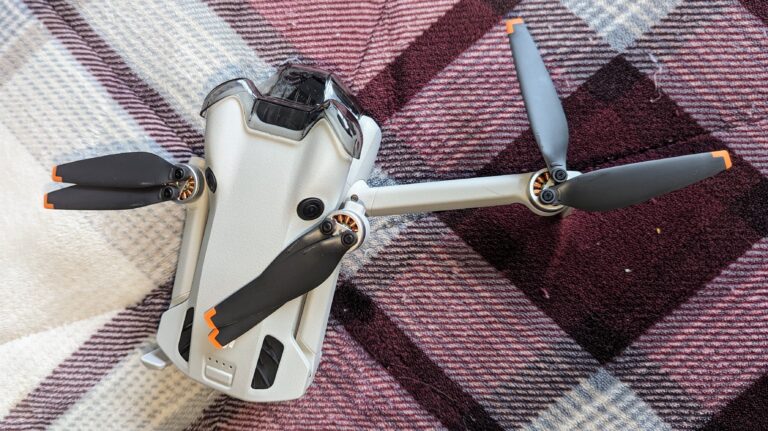
Just got my hands on a drone, and let me tell you, it's awesome (and way trickier than it looks!). I'm here to document my adventures in the sky, share epic aerial photos and videos (hopefully!), and learn alongside all you other drone newbies. We'll explore the coolest accessories, tackle those inevitable challenges (read: crash landings!), and figure out all the pitfalls together. Buckle up for some wobbly flights, stunning scenery, and maybe a few laughs along the way!


